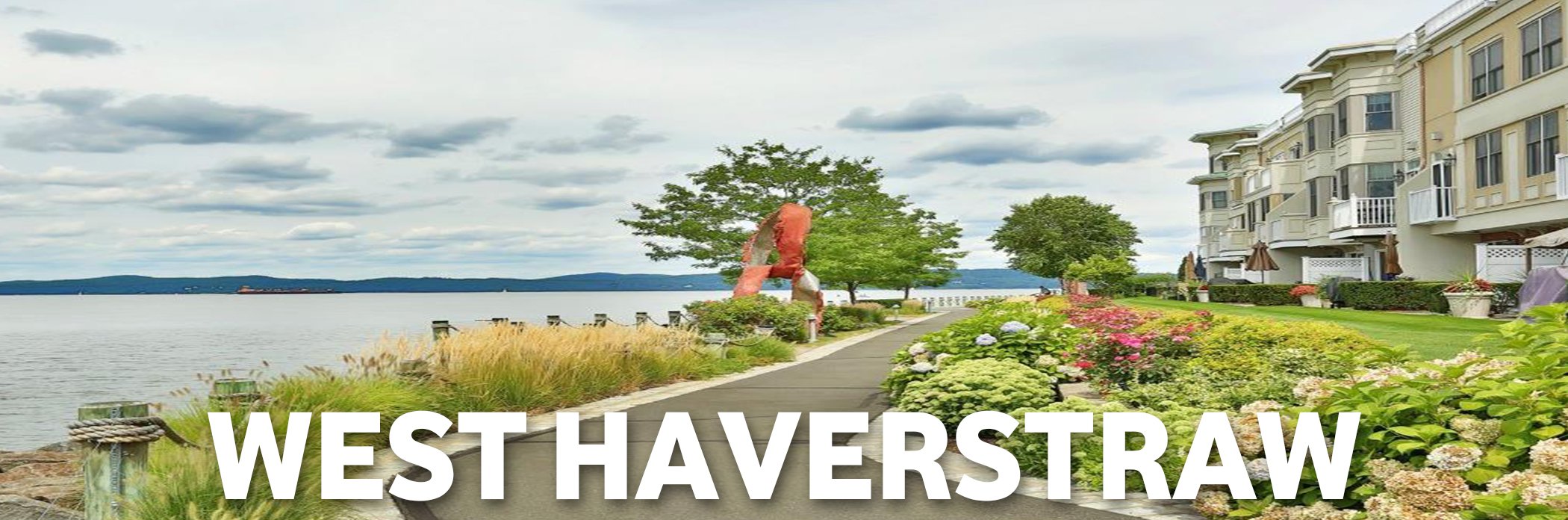
West Haverstraw, New York

West Haverstraw, New York
Address Search
Land area: 1.54 square miles.
Water area: 0.65% is water.
Founded: 1833.
Population in 2014: 10,417 (100% urban, 0% rural).
Population density: 6,749 people per square mile.
County seat: New City.
Colleges and Universities: Rockland Community College, Nyack College, United States Military Academy, Mercy College, SUNY Westchester Community College, Ramapo College of New Jersey, Bergen Community College
Description:
West Haverstraw is a village incorporated in 1833 in the town of Haverstraw, Rockland County, New York, United States. It is located northwest of Haverstraw village, east of Thiells, south of the hamlet of Stony Point, and west of the Hudson River. The population was 10,165 at the 2010 census.The majority of the hamlet of Garnerville is contained in the village of West Haverstraw.
Transportation:
There are 2 airports and 4 Amtrak train stations within 30 miles of the West Haverstraw city center.
The average travel time to work in West Haverstraw is 10% higher than the national average.
The number of people who take public transportation in West Haverstraw is 41% higher than the national average.
The number of people who carpool to work in West Haverstraw is 29% lower than the national average.
The number of people who work from home in West Haverstraw is 92% lower than the national average.
Races:
40.9% Hispanic
36.3% White
16.2% Black
0.1% Native American
4.5% Asian
0.0% Native Hawaiian
0.2% Some Other Race
1.8% Two or More Races
Age:
Median resident age: 34.2 years
New York median age: 38.2 years
Average household size:
West Haverstraw: 3.0 people
New York: 2.6 people
Estimated median household income in 2013:
West Haverstraw: $78,074 (it was $48,420 in 2000)
New York: $57,369
Median gross rent in 2013:
West Haverstraw: $1,416.
State: $992
Estimated median house or condo value in 2013:
West Haverstraw: $291,365 (it was $159,900 in 2000)
New York: $277,600
Air pollution in West Haverstraw:
Air Quality Index (AQI) level in 2013 was 90.2. This is worse than average.
Carbon Monoxide (CO) [ppm] level in 2013 was 0.391. This is worse than average. Closest monitor was 20.9 miles away from the city center.
Nitrogen Dioxide (NO2) [ppb] level in 2013 was 18.4. This is significantly worse than average. Closest monitor was 15.9 miles away from the city center.
Sulfur Dioxide (SO2) [ppb] level in 2013 was 1.54. This is better than average. Closest monitor was 0.4 miles away from the city center.
Ozone [ppb] level in 2013 was 28.8. This is about average. Closest monitor was 2.5 miles away from the city center.
Particulate Matter (PM2.5) [µg/m3] level in 2013 was 8.41. This is about average. Closest monitor was 20.4 miles away from the city center.
Unemployment in September 2015:
Here: 4.6%
New York: 4.8%
Crime:
The overall crime rate in West Haverstraw is 34% lower than the national average.
For every 100,000 people, there are 5.37 daily crimes that occur in West Haverstraw.
West Haverstraw is safer than 57% of the cities in the United States.
In West Haverstraw you have a 1 in 52 chance of becoming a victim of any crime.
The number of total year over year crimes in West Haverstraw has decreased by 6%.