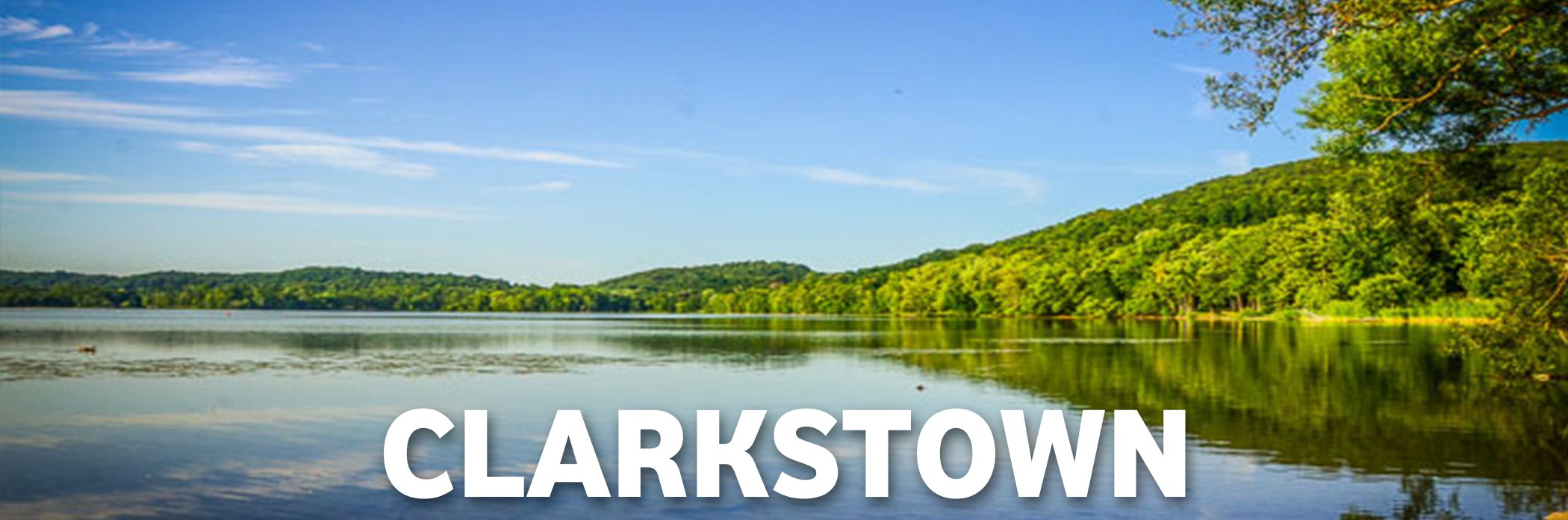
Clarkstown, New York

Click on the links below for more information and real estate listings for each villages:
Villages
Nyack | Spring Valley | Upper Nyack
Clarkstown, New York
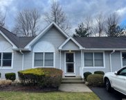
The One You Have Been Waiting For. Welcome Home to this 2 Bedroom / 1.5 Bathroom Condo in Desirable Windsor Mews. This Peaceful 55 and Older Community offers Central Air,...
- 2 Beds
- 2 Baths
- 3566061 MLS
- Windsor Mews Bldg.
Information Copyright 2024, OneKey® MLS. All Rights Reserved. The source of the displayed data is either the property owner or public record provided by non-governmental third parties. It is believed to be reliable but not guaranteed. This information is provided exclusively for consumers’ personal, non-commercial use. The data relating to real estate for sale on this website comes in part from the IDX Program of OneKey® MLS.