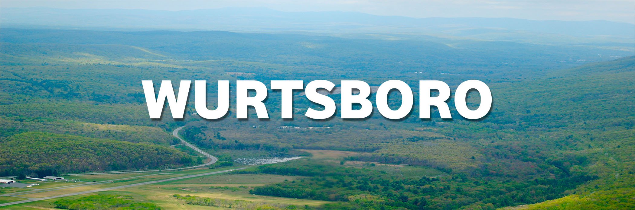
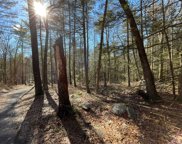
Convenient and close, located in the Catskills is this affordable 1.3 acre building lot. Experience the peace and solitude of nature in the tranquil woods of Sullivan Cou...
Information Copyright 2024, OneKey® MLS. All Rights Reserved. The source of the displayed data is either the property owner or public record provided by non-governmental third parties. It is believed to be reliable but not guaranteed. This information is provided exclusively for consumers’ personal, non-commercial use. The data relating to real estate for sale on this website comes in part from the IDX Program of OneKey® MLS.
Land area: 1.3 sq mi.
Water area: 0.0 sq mi.
Founded: 1825.
Population in 2014: 1,195 (79% urban, 21% rural).
Population density: 945 people per square mile.
County seat: Monticello.
Colleges and Universities: Orange County Community College, State University of New York at New Paltz, Mount Saint Mary College, Ulster County Community College, Marist College, United States Military Academy, Culinary Institute of America
Wurtsboro is a village located on U.S. Route 209 in the town of Mamakating in Sullivan County, New York, United States, near its junction with New York State Route 17 (which is being upgraded to Interstate standards and will be renumbered as Interstate 86). The population was 1,246 at the 2010 census. Since 1927 the area has been served by Wurtsboro-Sullivan County Airport. From Spring through the Fall, the area provides a scenic back drop and destination for motorcyclists in conjunction with events sponsored by the Wurtsboro NY Chapter of the Harley Owners Group.
Before Europeans, Wurtsboro was inhabited by Native Americans known as the Leni Lenape. Called ‘Delawares’ by the Europeans, the Leni Lenape are known to other tribes, in their tongues, as "the old people" and are considered to be one of the oldest tribes in the country. Many anthropologists believe the Leni Lenape are the ancestors of the original people who crossed the Bering Strait to first populate North American. Within the Leni Lenape, different villages dotted the valleys between the Delaware and Hudson rivers. The group that resided in the Wurtsboro area was known as the Mamacottin.
There are n/a airports and n/a Amtrak train stations within 30 miles of the Wurtsboro city center.
The average travel time to work in Wurtsboro is 9% higher than the national average.
The number of people who take public transportation in Wurtsboro is 7% higher than the national average.
The number of people who carpool to work in Wurtsboro is 5% higher than the national average.
The number of people who work from home in Wurtsboro is 51% lower than the national average.
White (93.68%)
Black or African American (1.86%)
Asian (0.81%)
From other races (1.62%)
From two or more races (2.03%).
Hispanic or Latino of any race were 4.62% of the population.
Median resident age: 44.3 years
New York median age: 38.2 years
Wurtsboro: 2.3 people
New York: 2.6 people
Wurtsboro: $50,550 (it was $38,500 in 2000)
New York: $57,369
Wurtsboro: $849 (lower quartile is $770, upper quartile is $1,221)
State: $992
Wurtsboro: $155,440 (it was $92,000 in 2000)
New York: $277,600
Lower value quartile - upper value quartile: $186,800 - $347,900
Air Quality Index (AQI) level in 2013 was 48.9. This is significantly better than average.
Ozone [ppb] level in 2013 was 22.9. This is significantly better than average. Closest monitor was 14.4 miles away from the city center.
Lead (Pb) [µg/m3] level in 2008 was 0.0173. This is worse than average. Closest monitor was 9.4 miles away from the city center.
Here: 5.3%
New York: 4.8%
The overall crime rate in Wurtsboro is 71% lower than the national average.
For every 100,000 people, there are 2.36 daily crimes that occur in Wurtsboro.
Wurtsboro is safer than 83% of the cities in the United States.
In Wurtsboro you have a 1 in 117 chance of becoming a victim of any crime.
The number of total year over year crimes in Wurtsboro has decreased by 68%.